
Huntington Park Neighbors in Public Records
A block lookup works best as narrow questions. The Los Angeles County Assessor map locates a subject parcel and nearby lots by AIN, the ten-digit county tax identifier. Assessor detail adds situs and parcel facts. The city zoning map supplies land-use context. Planning files and hearings may name an applicant, owner, agent, or speaker tied to a project address. Registrar-Recorder/County Clerk (RR/CC) maps can confirm subdivision layout. Voter material has another role: a status form verifies the requester’s own record, while aggregate reports show counts rather than households.
| Source | What It Shows About a Block | Access |
|---|---|---|
| Assessor Map Search | Parcel outlines, adjacent AIN labels, and geographic relationship | Free web map |
| Assessor parcel detail | Situs, AIN, legal description, values, and property facts | Free address or AIN search |
| Huntington Park zoning map | District and planning overlay across a block | City map or PDF |
| Planning files and hearings | Applicants, owners, agents, project scope, and approvals | Counter, archive, or narrow request |
| RR/CC deeds and subdivision maps | Named parties, recording data, and lot or block layout | Norwalk viewing and ordered copies |
| Voter reports | City or precinct totals, not household identities | Aggregate report; qualified file route |
| City Archive | Hearing topics, named participants, and address attachments | Category, date, text search, and PDF |
| Library and history collections | Older addresses, maps, newspapers, and directories | Catalog, reference desk, or licensed database |
Owners and occupants separate at the parcel line. An Assessor entry describes the tax roll, not where the owner lives. A deed records named parties and a transfer, not the current household. Mailing address receives a tax notice; situs is the physical parcel. A permit may identify an applicant or contractor, not a neighbor. Even a voter match is not an open block list. People who rent, minors, household composition, utilities, deliveries, and motor-vehicle addresses are not substitutes. Use title and assessor channels for land ownership, and archive records for public civic roles.
Note: A parcel map establishes adjacency, not a household roster or current household occupancy at the present time.
Click Adjacent Parcels, Not Numbers
The safest Huntington Park neighbors workflow is manual map adjacency. Start with a street address, save the highlighted parcel, and work outward one polygon at a time. Dense blocks contain rear parcels and multiunit sites, so house numbers can skip land that touches the target. The public Assessor interface does not document a radius, buffer control, or export. Pan across the block instead of widening the view too far.
- Search the target address or AIN in Assessor Map Search and center the highlighted parcel.
- Zoom until boundaries and AIN labels are readable, then click each polygon on the sides and across the street.
- Record the AIN and situs address separately for every adjacent parcel, then open its detail record.
- Use RR/CC or city files only when a deed, subdivision map, planning action, or hearing record answers the next question.
This process answers what is immediately around one address. When the goal changes to every parcel along Pacific Boulevard or Randolph Street, the Huntington Park street directory is the better whole-street route. It keeps the block method from becoming an unsupported radius list.
Huntington Park Block Records Add Context
Parcel facts gain context from city land-use records. Huntington Park’s Plan Check and Permit Process starts with zoning, Planning and Zoning files, Building and Safety material, inspections, and hearing files. Permanent approved entitlements include conditional-use, density-bonus, lot-line adjustment, subdivision, variance, and zoning-clearance records. A building card may document inspection history. These records describe an action, not everyone nearby.
The Huntington Park City Archive adds English and Spanish agendas, minutes, newsletters, planning commission records, demand registers, and other civic files. Category, text, Start Date, and End Date fields narrow a search. Search by address, Assessor parcel number (APN), project term, or hearing date, then read the PDF instead of treating an agenda name as proof of residence.
City commissions
Agendas and minutes can show a hearing topic, applicant, speaker, or appointed official.
Council records
Meeting packets may connect a neighborhood issue to a parcel or project address.
Parks and recreation
Public programming is a community contact layer, not a private membership roster.
National Night Out
Public event information can help with civic connection without exposing household data.
No official Huntington Park HOA or neighborhood-association membership directory was located. Public officers and civic contacts should not be expanded into an invented member list.
Huntington Park Neighbors and Voter Data
The Los Angeles County voter status form is identity-gated. It asks for last name, birthdate, house number, and ZIP Code. It checks one’s own registration, not Huntington Park neighbors by street. Home address, phone, email, signature, prior registration, and identifiers are not open through the form.
| Field | What the public form does |
|---|---|
| Last name | Matches the person submitting the check |
| Birthdate | Adds identity control to the status request |
| House number and ZIP Code | Locates the submitted residence record |
| Result | Confirms status and voting information for that request |
Elections Code sections 2188 and 2194, along with Government Code section 7924.000, limit full voter information. A qualified-purpose request uses a county purchase order, geography description, delivery choice, permissible-use declaration, and signature. The form lists $146 countywide, $54 for a precinct, district, or city, and $39 for each additional file. Mail or in-person requests go to Election Information in Norwalk.
County Reports of Registration show dated city, precinct, and party totals without households. Registration questions go to 800-815-2666, option 2. An inactive flag is not proof that a person moved. Voter data cannot lawfully become a Huntington Park neighbor list.
Huntington Park Records vs Commercial Tools
Official records and commercial neighbor tools answer different questions. Government sources have a custodian and stated search key. Commercial tools may assemble public and purchased data into a quick lead, but labels can be stale or merged. A name beside an address still needs a source record and lawful reason.
| Source type | Useful strength | Important limit |
|---|---|---|
| Assessor map and detail | AIN, situs, legal description, adjacency, parcel facts | Ownership is not occupancy; no public owner-name key |
| RR/CC deed or map | Named parties, recording data, and legal land description | Office viewing or copy route; no household roster |
| City files and archive | Project applicants, hearing participants, and civic context | Record-specific scope, redaction, and retention rules |
| Commercial neighbor tool | Convenient assembled lead | May call an owner a resident, merge units, or lag transfers |
Use the official parcel, deed, planning, and civic record for the claim it can support. Treat an assembled result as unverified, never as a reason to contact or watch a stranger.
Huntington Park Neighbor Geography
ZIP 90255 is the principal verified Huntington Park ZIP, but postal delivery and municipal jurisdiction differ. Use the USPS city and state ZIP lookup for deliverability, then compare the Assessor parcel with Huntington Park zoning or boundary layers. Nearby unincorporated Walnut Park is part of Los Angeles County despite street continuity, so a mailing city does not prove incorporation.
Local history adds another layer. Pacific Boulevard is the commercial spine, while Randolph Street preserves the Pacific Electric right-of-way story. Older records may use Rancho San Antonio, Sunrise Tract, La Park, or San Antonio Township. Spanish-language archives and names with two surnames, accents, or changing surname order need search variants.
Note: Keep ZIP, situs, mailing city, AIN, and legal description as separate fields until the jurisdiction question is settled.
Huntington Park Narrow Records Requests
Match each request to the custodian. For a deed or subdivision map, call RR/CC at 800-201-8999, option 3, visit the Norwalk viewing room, use public terminals, and order online, by mail, or fax. Give a document number when known; otherwise provide names, an approximate date, and the property or legal description.
For city records, give the address or APN, record series, department, and date span. Ask for an application, building card, inspection log, certificate, entitlement, code case, agenda, or attachment. A narrow California Public Records Act (CPRA) request beats asking who the neighbors are. The county public-record request entry routes requests through its system.
Los Angeles County’s public-record request entry shows the route for a defined record request.
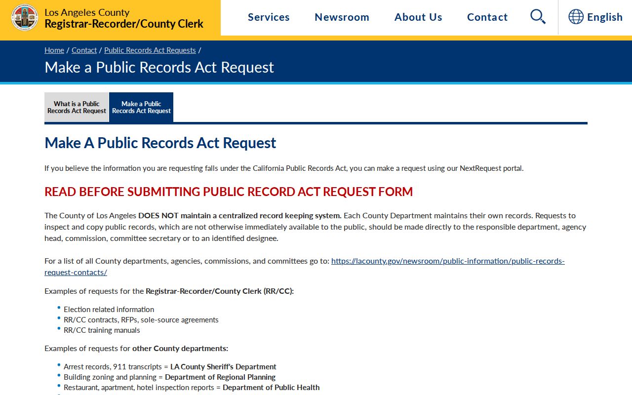
The route works best after the AIN, address, record type, and time span are known.
California’s Public Records Act guidance explains response timing, duplication costs, exemptions, and release of separable nonexempt portions.
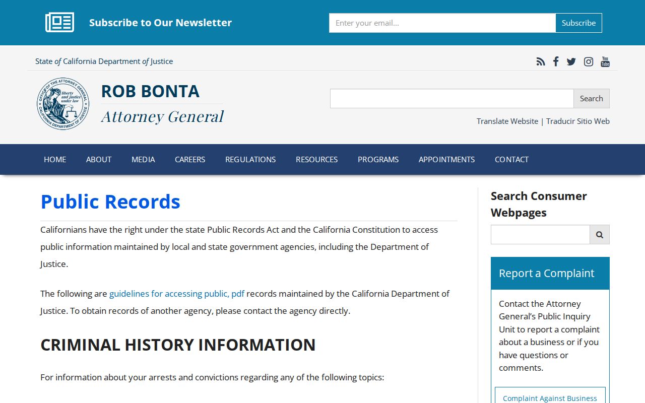
Use the guidance with the custodian’s procedure. Determination is normally within ten days, with a possible fourteen-day extension, not a promise of release.
For older block history, ask the Huntington Park Library for a shelf check, exact directory titles, and licensed newspaper or genealogy access. State Library, FamilySearch, NARA, and map collections add context, but local directory and Sanborn years were not verified. Ask a librarian when web searching fails.
Huntington Park Neighbor Privacy and DROP
Privacy work must follow the source. Assessor corrections go to the Assessor, voter confidentiality to RR/CC, court sealing through the court, and Safe at Home participants through program instructions. A commercial database opt-out does not erase the government record. California’s CCPA provides deletion and sale or share opt-out rights, while the 2026 DROP system sends one deletion request to more than 500 registered data brokers.
The California Attorney General consumer complaint channel is a public remedy route when a business mishandles a privacy request.
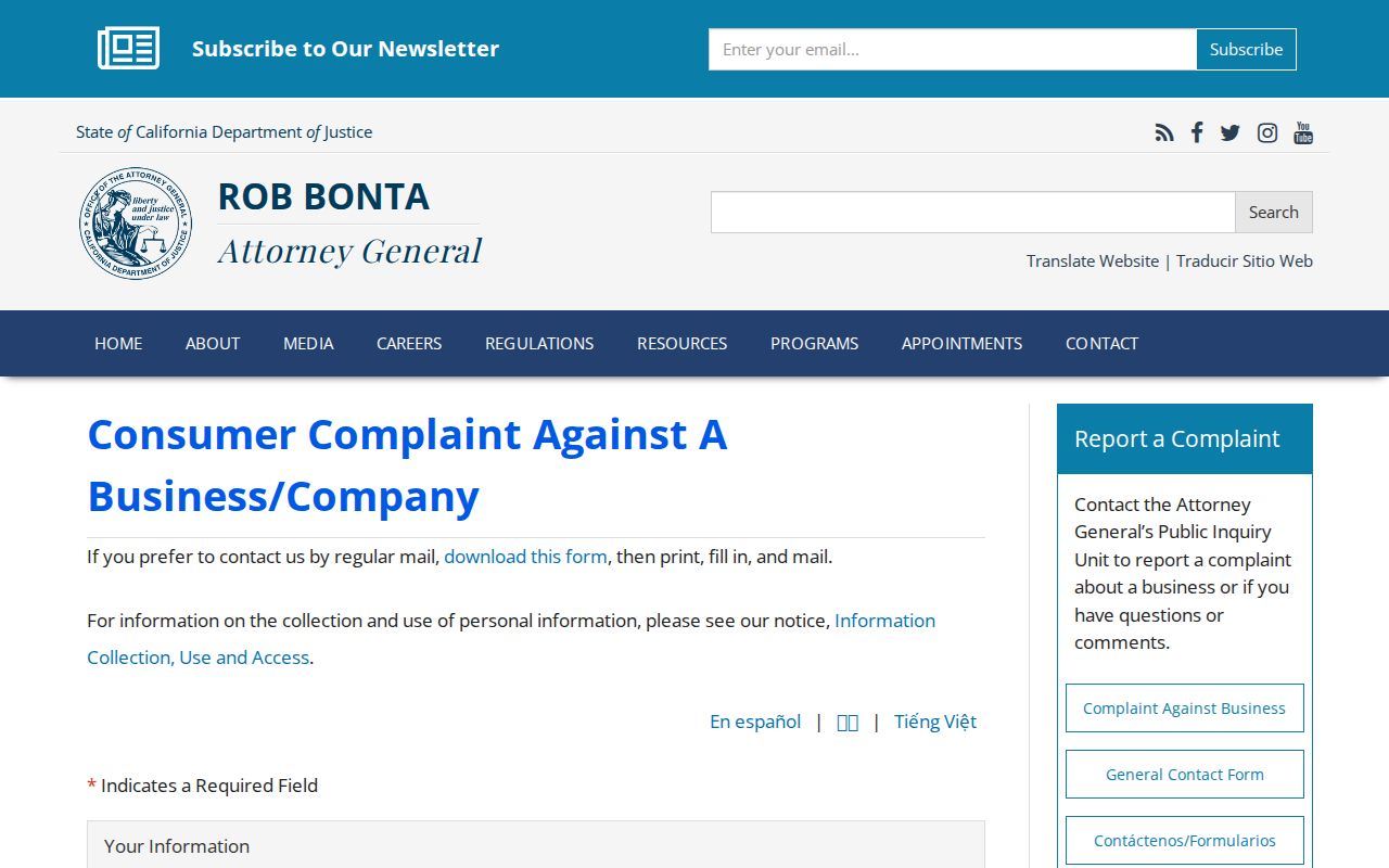
Keep confirmation numbers, limit the information sent, and direct a correction to the custodian that created the record.
The Attorney General’s 2026 DROP announcement says broker deletion compliance begins August 1, 2026.
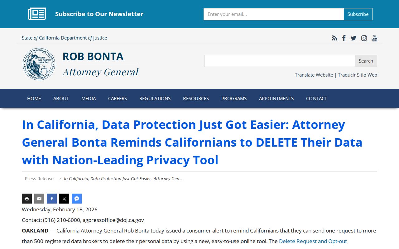
Safe at Home, under Government Code sections 6205 and following, supplies a substitute mailing address for qualifying participants and adds disclosure protections.
Huntington Park Neighbor Records and Scams
Property and identity records attract scams. A deed-copy message may charge for a document available through RR/CC. A property-fraud alert may imitate a county notice. Unclaimed-property finders can demand an advance fee even though the official claim route is free. Court callers may demand gift cards or cryptocurrency. Verify every contact through an official county, city, or state address reached independently.
The Federal Trade Commission fraud report portal is a federal channel for reporting suspected fraud.
For immediate danger, call 911. For a local report, use Huntington Park Police through the official city contact path, and verify recorded-property questions with RR/CC at 800-201-8999, option 3.
When a scam exposes personal information, the federal identity theft recovery portal provides the appropriate next channel.
Obituary details, public officers, and parcel data can all be misused when combined. Share only what a lawful personal or civic purpose requires.
What Huntington Park Neighbors Records Cannot Show
A parcel, deed, permit, civic agenda, or qualified voter record cannot turn into a complete neighbor directory. Renters, minors, household composition, utility customers, deliveries, DMV addresses, and Safe at Home participants remain outside a legitimate block profile. Ownership and occupancy can diverge, and even a public name may belong to an applicant, agent, speaker, grantee, or former owner rather than a current resident.
Lawful use. Huntington Park neighbor lookups belong to personal curiosity, family or classmate reconnection, civic research, and safety awareness. Do not use public information to watch, threaten, harass, or intimidate anyone.
California Penal Code sections 646.9 and 422 can apply when information becomes a tool for repeated unwanted conduct. Elections Code limits voter-data use, the federal Driver’s Privacy Protection Act (DPPA) restricts motor-vehicle information, and Megan’s Law carries anti-harassment warnings. A responsible Huntington Park neighbors search stops when the source stops, protects confidential addresses, and confirms claims with the custodian.