
Huntington Park ZIP Code Coverage
USPS treats a ZIP as a delivery construct, not a municipal line. For Huntington Park, the verified principal ZIP identified in the research is 90255. No additional regular ZIP, PO-box-only ZIP, or unique ZIP was identified for the city, so a clean directory should not invent neighborhood splits or a second code. The table keeps the coverage claim narrow. It also leaves the station question open: the current USPS locator should verify the station or postal facility tied to any deliverable address.
| ZIP | Areas Covered | Post Office | Notes |
|---|---|---|---|
| 90255 | Huntington Park and some addresses in the surrounding southeast Los Angeles urban grid | Huntington Park postal service area; verify the current station in the USPS locator | Principal city ZIP; the mailing city does not prove that a parcel is inside the incorporated boundary |
90255 covers Huntington Park and some addresses in the surrounding southeast Los Angeles urban grid. That wording matters. The label in a mailing record may say Huntington Park even when the parcel sits outside the incorporated boundary, while an address near the edge can need a different city or county jurisdiction check. ZIP data is best used as the first filter for mail and search setup, not as proof of a city parcel. Census ZCTAs can help with statistical work, but they are approximations and should not be presented as postal coverage.
Find Huntington Park Residents by ZIP Code
Once a deliverable address is in hand, the search path should narrow from mail geography to a record key. Start with USPS, then search the Los Angeles County Assessor Portal by address or ten-digit AIN. Save the parcel's situs, AIN and legal description. Use Assessor Map Search to inspect the highlighted polygon and city context. If the purpose is a city permit or zoning question, shift to the Huntington Park Planning and Building process or the city's request channel. Only after that should a deed, planning file, court record or other record-specific portal be chosen.
- Verify the exact deliverable address with USPS. Record the returned city, state and ZIP, and keep that postal result separate from the municipal question.
- Enter the street address or AIN in the Assessor Portal. Save the situs, ten-digit AIN, legal description and map position instead of treating 90255 as a parcel search key.
- Check the incorporated boundary and zoning layer. A city permit or planning file belongs with Huntington Park only when the parcel is inside the city jurisdiction.
- Choose the record custodian. Use the RR/CC for recorded documents, city channels for municipal files, and the appropriate county portal for a qualified, record-specific request.
The street-level handoff is deliberate. When 90255 narrows to one block or parcel, use the Huntington Park street directory for the address-keyed walk. That path distinguishes situs from mailing, parcel from person, and current owner evidence from household evidence. A ZIP search should reduce noise, not turn a broad postal label into a claim about every resident.
Huntington Park ZIP vs City Limits
Three labels can meet at one edge address: the postal Huntington Park label, the Assessor's situs-city label, and the incorporated Huntington Park jurisdiction. They answer different questions. USPS asks where mail is delivered. The Assessor describes the physical parcel and tax roll. City Hall controls local permits, zoning, services and other city-created records only inside the incorporated line. A matching city name in a mailing line does not settle which office holds a record.
Walnut Park is the key local confusion. It is an unincorporated Los Angeles County community next to Huntington Park, with streets that continue through the same southeast Los Angeles urban grid. If a parcel appears to carry 90255 but lies in Walnut Park, county and local jurisdiction paths can differ. Verify USPS delivery, then the parcel map, then city boundary and zoning before sending a permit or records request.
For current local service context, check the Huntington Park official homepage before an in-person city records trip.
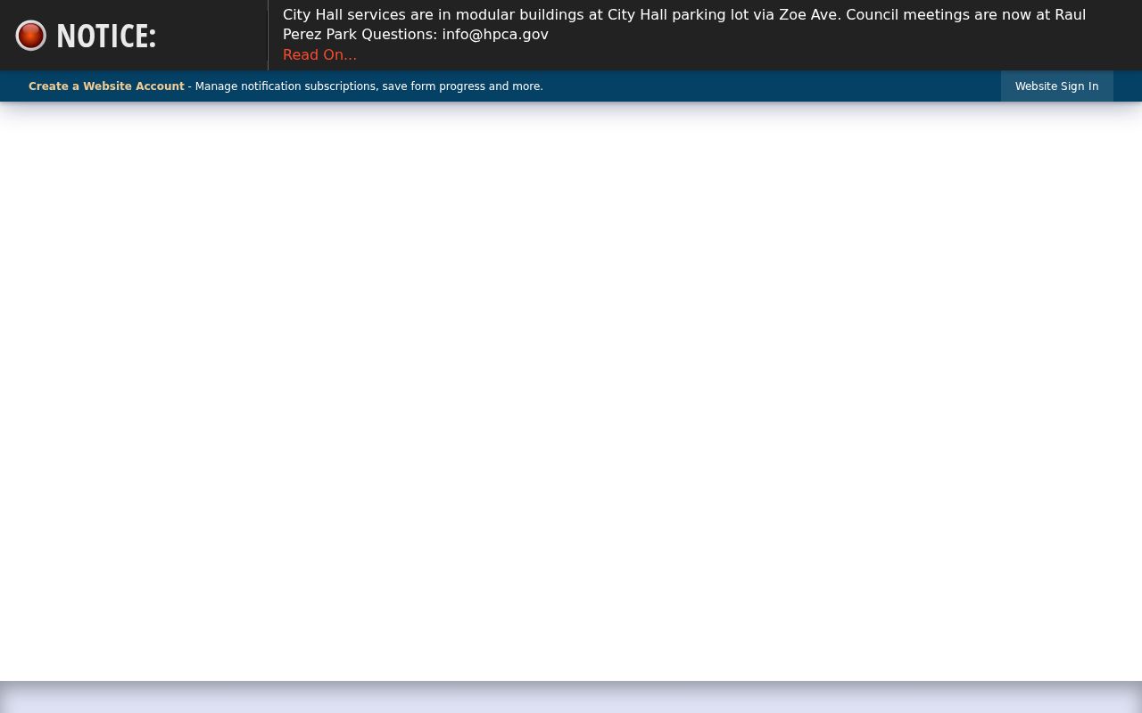
The official homepage's 2026 notice places City Hall services in modular buildings in the City Hall parking lot via Zoe Avenue and council meetings at Raul Perez Park. Locations can change, so the live city notice belongs in the jurisdiction check.
- ZIP code
- A five-digit USPS delivery area used to sort mail. It is not a legal city boundary or a resident roster.
- ZIP+4
- Four extra digits appended to that five-digit code for a more precise delivery segment. It does not change municipal jurisdiction.
- PO-box ZIP
- A code used for post-office-box delivery. No Huntington Park PO-box-only ZIP was identified in the research.
- Unique ZIP
- A code assigned to one institution or special delivery pattern. No unique Huntington Park ZIP was identified.
- Carrier route
- A postal delivery path within the code. It is not a city boundary, parcel layer or household list.
Verify Huntington Park ZIP Delivery
USPS is the controlling check for deliverability. The USPS city and state ZIP lookup is the right starting point for an address that must be mailed, because its result reflects postal naming rather than a Census approximation. Enter the address or use the city and state mode as appropriate, record the returned city, state and ZIP, and repeat when a historical address has variant spelling. Do not treat a search result as a municipal boundary decision.
The official USPS lookup page is the source for the Huntington Park ZIP check shown here.
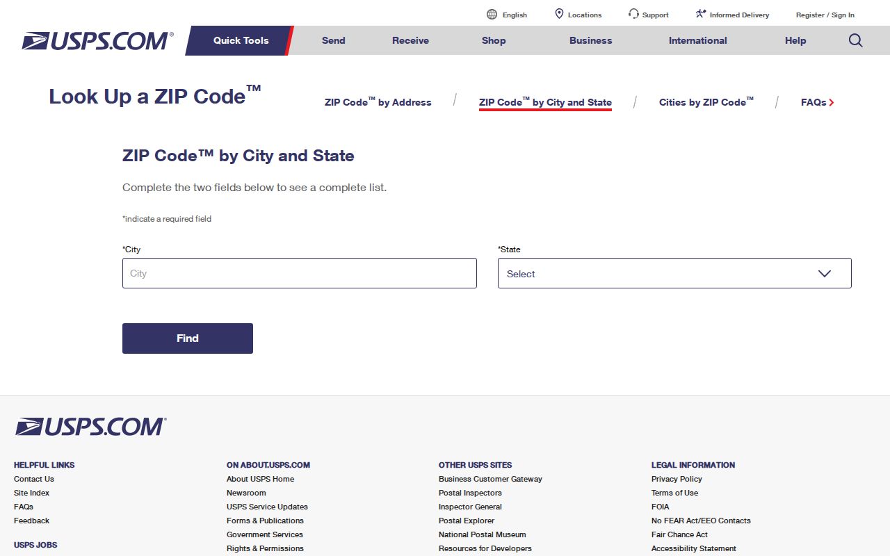
The captured lookup image shows the official path used to verify Huntington Park ZIP coding. It belongs beside the postal check, not beside an ownership claim. A valid delivery result still requires the Assessor and city layers before a permit, parcel or civic record is assigned.
ZIP Search Limits in Huntington Park
The local portals do not offer one ZIP-wide resident list. The Assessor's public search is address or AIN based, with no exposed owner-name mode and no documented ZIP-result export. Its map can be browsed visually, parcel by parcel. The LA County voter status form includes a ZIP field, but it also requires last name, birthdate and house number, so it confirms the requester's own record rather than browsing 90255. Full voter files require a qualified purpose and are not a public street list.
| Portal or mode | Search fields | What it supports | Limit |
|---|---|---|---|
| Assessor basic search | Address or ten-digit AIN | One parcel's situs, legal description and tax facts | No ZIP-wide public filter or owner-name mode |
| Assessor Map Search | Address or AIN, then parcel clicks | Visual parcel and boundary review | No documented ZIP export or radius tool |
| LA County voter status | Last name, birthdate, house number, ZIP code | Self-verification of a submitted registration | Cannot browse 90255 or serve as a street roster |
For a person trying to confirm a registration, the correct route is the LA County voter status form, not a neighborhood scrape. The county's Election Information request route is available only when the requester qualifies under the published purpose rules. The research records mail and in-person submission channels, a signed permissible-use declaration, and a phone route at 800-815-2666 option 2. Aggregate Reports of Registration can show city or precinct totals without exposing households.
The LA County voter status page displays the four-factor verification path used for a person's own record.
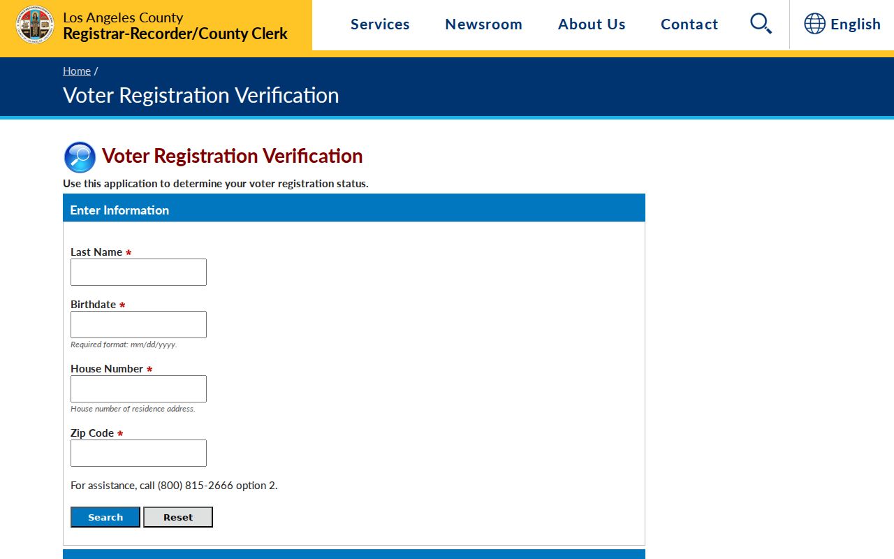
The image makes the access limit visible: a ZIP field works only with the other identity fields. It is a confirmation tool, not a way to browse residents by postal code. Do not infer that an inactive registration proves a person moved.
Huntington Park ZIP and Walnut Park
Walnut Park is more than a name that appears beside 90255. It is an unincorporated Los Angeles County community, so the city line can change which public office holds a permit, zoning question or service request even when a postal form uses Huntington Park. The address may sit in a continuous urban grid, yet municipal responsibility follows the incorporated boundary. That is why postal city, situs city and jurisdiction must be recorded as separate fields.
For edge research, save the USPS result, parcel AIN, situs, city boundary or zoning result, and the office selected for the next request. The Assessor Portal can establish parcel identity, but it does not replace a city boundary determination. Huntington Park Planning and Building handles incorporated parcels; county addressing or GIS handles unincorporated parcels, according to the research map. A ZIP search becomes reliable when each label is tied to its custodian.
AIN, Situs, Mailing and Legal Description
An AIN is a ten-digit Los Angeles County tax identifier. The Assessor Portal can use an address or AIN to show a parcel card with situs, legal description, map context, tax-rate area, land and building use, characteristics, assessed values and the record-effective date. The AIN is a bridge from a postal address to county property data; it is not a person ID and not a ZIP key.
Situs means the physical parcel location. Mailing means where tax correspondence is sent. A legal description may identify subdivision, lot and block. Those fields can diverge. A deed return address may point to a mailing destination, but it does not prove that the grantor or grantee lived there. Likewise, an owner record does not establish current household membership. Keep the fields in separate notes when comparing a ZIP result with property evidence.
Note: no verified citywide street-renumbering project or ZIP realignment year was located, so historical address matches need legal descriptions and maps.
Huntington Park Before ZIP Codes
Modern ZIP labels are a late layer on an older place. The land sequence runs from Rancho San Antonio to the Sunrise Tract, then La Park, then Huntington Park. A.L. Burbank and E.V. Baker subdivided the 100-acre tract by 1901. La Park remained the post-office name before the 1906 incorporation, while the Pacific Electric story and Randolph Street right-of-way helped shape the Huntington Park name and proposed geography.
Those terms are practical search keys. An early deed, directory entry, subdivision map or newspaper may use La Park, Rancho San Antonio or San Antonio Township rather than Huntington Park. The 1906 boundary changes removed high-value areas before incorporation, which helps explain why historical geography may not align with today's postal or city labels. No verified citywide ZIP realignment year was located, and no official street-renumbering year was located. Do not fill a gap with an invented date.
That older trail also explains why a ZIP code directory cannot stand alone for past residents. A 1950 census household can be paired with a directory address, a deed owner, a city permit and a probate file, but each source answers a different question. The chain is strongest when an address, legal lot or dated record links the sources, rather than a shared city name.